
More Valley Sites
Battle of Wytheville
A series of five Civil War Trails interpretive signs describes the action on July 18, 1863, as a Federal raiding party marched to the Wytheville area intending to destroy the Virginia and Tennessee Railroad tracks and bridges. In addition, the force planned to destroy telegraph lines and the salt and lead mines nearby. After some skirmishing and confusion on the advance, Union Col. John Toland ordered his men into Wytheville. Hastily organized Confederate resistance succeeded in killing Toland in the street and limiting the damage to the railroad track and stock. The raid did not succeed in its mission as the track was quickly repaired.
Landmarks of the battle and its aftermath are noted in the Trails tour. The tour begins near the intersection of I-77 and I-81 on State Route 52 at Route 680. For more information about the battle and other local history, contact the Wytheville Museum, 276-223-3426.
Gladeville in the Civil War
Trails sign at the Wise County Courthouse, 206 E Main St, Wise VA 24293
ROAD MAP
Gladeville (modern-day Wise) was the subject of several surprise Union raids during the war. One, June 1, 1862, resulted in the destruction of part of the town. Another, July 1, 1863, led to the capture of more than 100 Confederates.
Engagement at Pound Gap
Trails sign on Route 23 near VA Highway 667 near Pound VA 24279
ROAD MAP
This was an important strategic gateway from Kentucky into southwestern Virginia during the war. On March 16, 1862, a Federal force under future president James Garfield defeated Confederate defenders here. They burned some cabins and wagons before returning to Kentucky.
Battlefield at Cool Spring
Trails sign just off Route 7 westbound lanes at west end of Shenandoah River Bridge
ROAD MAP
State historical markers cite the action here as Confederate Gen. Jubal Early was pursued after his July 1864 foray to the suburbs of Washington D.C. Union forces, including those led by future President Rutherford Hayes, were repulsed bloodily.
Saltville
North of I-81 on Route 107
Salt wells here were crucially important to the Confederate war effort, important enough to be the focus of Union attacks late in 1864. Civil War Trails interpretation at two sites.
Battle of Cloyd’s Mountain
Trails sign located in the Cleburne Wayside next to Capt. Christopher Cleburne’s grave at 5304 State Road 790, Dublin VA 24084
ROAD MAP
The Confederate rear guard made a stand here following the main action 3 miles west at the Battle of Cloyd’s Mountain, May 9, 1864. Intense fighting here, including hand-to-hand combat, delayed the advance of Gen. George Crook’s troops headed toward Dublin and the Virginia and Tennessee Railroad. Crook’s men eventually destroyed the railroad’s New River bridge before heading back to West Virginia.
Christiansburg
A Town in Turmoil: Confederate Christiansburg
Trails sign located at 2 E Main St, Christiansburg
ROAD MAP
The majority of Christiansburg’s citizens supported the Confederacy. The town’s location put it in harm’s way during periodic raids on the nearby Virginia & Tennessee Railroad. The 1864 Battle of Cloyd’s Mountain filled the town with Confederate wounded as the Southerners withdrew from the battlefield. More threats came from Confederate deserters and Union loyalists, creating enduring ill feelings among area families.
Alleghany County
Two sites:
Jackson River Depot
Trails sign located across the street from 1809 Selma-Low Moor Road, Selma VA 24474
ROAD MAP
This is the western terminus of the Virginia Central Railroad that extended 200 miles from Hanover Junction, north of Richmond. The railroad and the river were strategic links to Tennessee and most parts of Virginia. The railroad and depot were raided May 20, 1862. Union cavalry obtained valuable information here before destroying a nearby railroad bridge.
Australia Furnace & Lucy Selina Furnace
Two Trails signs located at 6400 Longdale Furnace Road, Clifton Forge VA 24422
ROAD MAP
Trails sign is located near the site of the Lucy Selina Furnace, which supplied the Confederate war effort with pig iron for arms and rails. The furnace was reactivated in 1863 and slave labor kept the furnace going. The nearby Australia Furnace was purchased in 1862 by the Tredegar Iron Works in Richmond. Both furnaces supplied pig iron for the Tredegar operation.
Abingdon
Two sites:
Abingdon in the Civil War
Trails sign at the Fields-Penn 1860 House Museum, 208 W Main St, Abingdon VA 24210
ROAD MAP
Union Gen. George Stoneman and his raiders rode through here Dec. 15, 1864, during his famous raid though southwest Virginia, Tennessee and North Carolina. His men tore up railroad tracks and delivered other mischief. One of his troopers, Capt. James Wyatt, an Abingdon resident sometime before the war, stayed behind. He burned the courthouse out of revenge for some perceived mistreatment as a youth but was killed shortly after while Confederates pursued him on Church Street.
Landon Boyd
Trails sign 200 block of A Street SE, Abingdon VA 24210
ROAD MAP
Boyd, an African-American brick mason, was born a slave near Abindgon. He served in the US Army during the war and settled in Richmond after. He served on the jury that was supposed to try former Confederate President Jefferson Davis. Davis was never tried, however, and charges were dismissed in 1869. Boyd served on the Richmond City Council 1872-1873. He returned to Abingdon in 1878.
Floyd

Stoneman’s Raid
217 N Locust St, Floyd VA 24091
ROAD MAP
Union Gen. George Stoneman’s cavalry ranged across Floyd County in the last days of the war, encountering only token resistance and a few supporters. The raid accomplished at least some of its goals, damaging the Virginia and Tennessee Railroad, a critical Confederate supply route. But by then the war in Virginia was nearly over.
Covington
Averell’s Raid
Trails sign located at the Alleghany Highlands Visitor Center, at 110 Mall Road, Covington VA 24426
ROAD MAP
Near here on Dec. 19, 1863, Union Gen. William Averell’s 2,500 raiders crossed a flooded, icy Jackson River to escape capture following their raid on Salem. The bridge over the Jackson was guarded by Confederate Col. William Jackson but Averell managed to get around him over frozen landscape and successfully crossed.
Marion
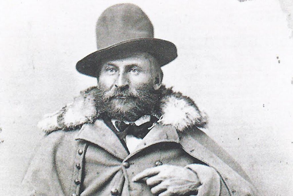
Civil War Trails sign in a small cemetery on East Main Street tells the story of Col. William Elisha Peters, who enlisted as a private in the Confederate army and quickly rose in the ranks. He was arrested briefly for refusing to join in the burning of Chambersburg, Pa. Wounded three times, he surrendered with his unit at Appomattox. He is buried nearby.
Engagement at Marion
Civil War Trails sign on Route 11 in Marion
ROAD MAP
Confederates, outnumbered 4:1 here, managed to hold off for two days (Dec. 16–18, 1864) Union forces raiding the Virginia & Tennessee Railroad and the salt and lead mines in the area. Local heros saved county records and other town resources.
Hanging Rock Battlefield
Near Roanoke just off Route 311 about 0.5 mile north of I-81 exit 41
ROAD MAP
Markers and monuments mark the spot of a running battle fought June 21, 1864, between Confederate forces under Jubal Early and Union troops under David Hunter as Hunter was withdrawing from Lynchburg. A new park with an interpreted battle trail and Civil War Trails interpretation.
Westview Cemetery
Trails sign at 651 E Roanoke St, Blacksburg VA 24060
ROAD MAP
Numerous Civil War vets are buried here, including a doctor who assisted in amputating Stonewall Jackson’s arm and several former Confederates who became presidents of Virginia Tech. The Union is represented by Capt. John Brady of Sherman’s command.
J.E.B. Stuart Birthplace

Patrick County, located on Route 773 (Ararat Highway) near the intersection of 617 (State Line Road) in Ararat. Street address is 1091 Ararat Hwy, Ararat VA 24053
A self-guided walking tour is available at the site of the famed Confederate cavalry commander’s birth. The site is supported by a foundation. Trails interpretation.
Cumberland Gap National Historical Park

Extreme southwestern tip of Virginia into Kentucky on U.S. Route 58
ROAD MAP (visitor center)
Exhibits and videos outline the history, including the Civil War era, of the great mountain gap, a gateway for armies passing between theaters during the war. Call 606-248-2817 about visiting the park.
Bedford
Trails sign located at the intersection of Main and Bridge streets
ROAD MAP
Union troops under Gen. David Hunter began arriving here June 15, 1864, and continued their mission of tearing up railroads and burning buildings used as Confederate supply depots. Following his occupation, Hunter marched to Lynchburg where he was defeated by Confederates under Jubal Early June 18.
Cedar Bluff
Two Civil War Trails interpretive markers describe the action here as Federal raiders made their way to the salt works at Saltville in 1864. Signs located at the Cedar Bluff Overlook Park off US 460 and at the Old Post Office, which was looted during the action.
Skyline Drive
Civil War signs located at Franklin Cliffs Overlook, just north of Big Meadows and the Byrd Visitor Center
Great views from here locate the New Market Gap and the Page Valley used so effectively by Stonewall Jackson during the war. A large map describes Jackson’s various marches. Another sign tells of the last time Jackson crossed the mountains.
New River Bridge, Radford
Trails sign at far west end of Bisset Park off Route 11
ROAD MAP
Union troops attacked and burned this critical railroad bridge May 10, 1864, following their victory at Cloyd’s Mountain the day before. The bridge was back in action in a month and survived until the last days of the war.
Gabriel C. Wharton House
Trails sign at the Glencoe Museum, 600 Unruh Drive, Radford VA 24141
ROAD MAP
This is the post-war home of Confederate Gen. Gabriel Wharton. He fought in the Western Theater before returning east to command troops at New Market, Cold Harbor and Cedar Creek and during Jubal Early’s 1864 Raid on Washington.
Booker T. Washington National Historic Monument
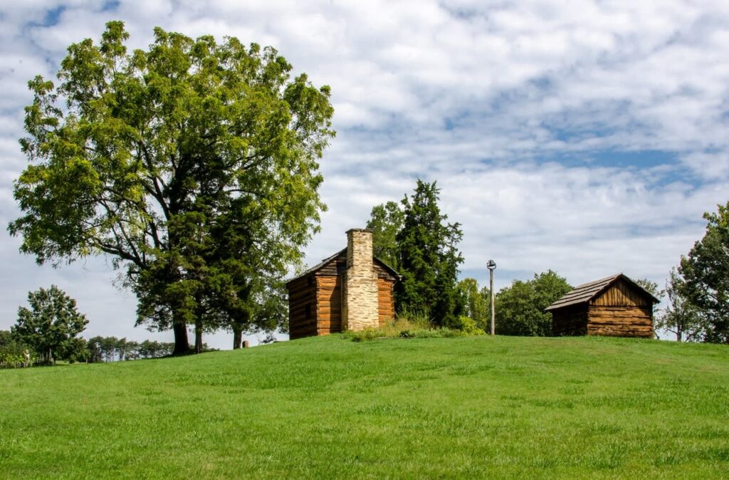
Located in Franklin County, 25 miles southeast of Roanoke
540-721-2094
ROAD MAP
The Civil War homefront on a small plantation is portrayed at this tobacco farm reproduction. Washington was born here in 1856 and, as a boy, saw the white family go off to war. Freed following the war, Washington went on to become a pioneer educator. Open daily 9 am–5 pm. Free.
Chilhowie
Trails sign at visitor center, I-81 exit 35
Union Gen. George Stoneman headed into southwestern Virginia from Tennessee aiming to destroy railroads and the mines at Saltville. He camped here en route at a switching station on the critical Virginia and Tennessee Railroad. The track bed and the ruins of a home in the small village are still visible.